Exploring Governor's Island
SUNDAY, JUNE 14TH 2009
AREA MAP
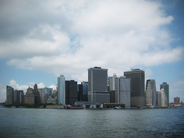
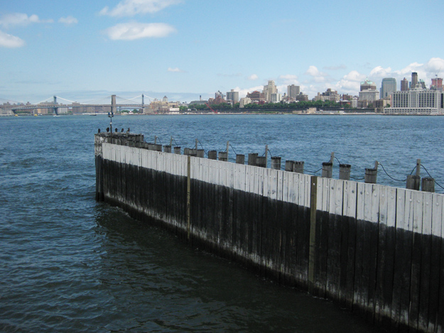
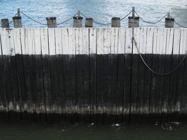
After ravaging the Brooklyn Flea for treasures, we wandered over to the adjacent waterfront [panorama] where we spontaneously jumped aboard a free ferryboat to Governor's Island. We had no expectations, knowing nothing about the island. It was a partly cloudy day and we were feeling rambunctious.
Governor's Island has a somewhat interesting history. In 1637, it was purchased from the Native Americans of Manahatas by a Dutchman for two ax heads, a string of beads, and a handful of nails. In 1664, the English captured New Amsterdam, renaming it New York, and took Nutten (now Governor's) Island. The island was used for over 200 years as a military facility. It was used by the Coast Guard from to 1966 to 1995, hosting a population of approximately 3,500.
The island is actually partially manmade. Using rocks and dirt from the excavations for the Lexington Avenue Subway, the Army Corps of Engineers supervised the deposit of 4,787,000 cubic yards of fill on the south side of Governor's Island, adding 103 acres of flat, treeless land by 1912, and bringing the total acreage of the Island to 172.
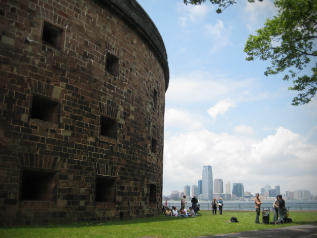
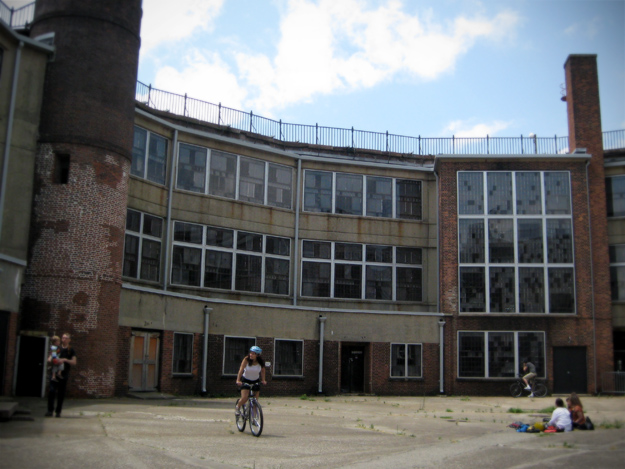
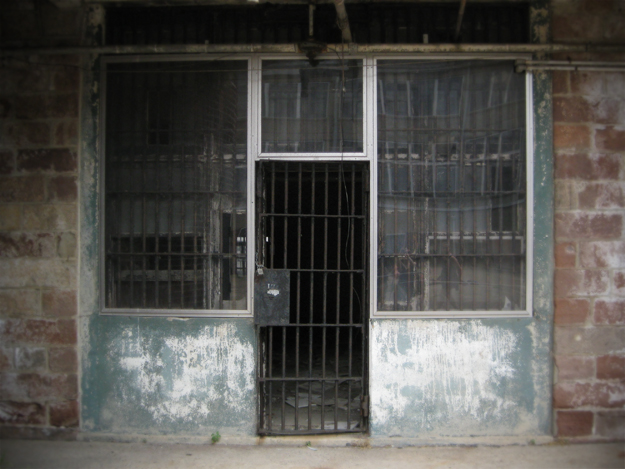
During the American Civil War, it was used for recruitment and as a prison for captured Confederate soldiers. Finally, we get to my photos. The decommissioned prison is partially open to the public, and although you cannot go into the interior of the building, you can enter the courtyard and peek in the windows. How lucky were the prisoners that had waterfront windows!
No comments:
Post a Comment